The thunderstorms last night were weaker than expected, but the cooler air behind them still came as promised. So I was in no hurry to leave in the morning. It was five miles on US 24 until I rejoined the official route in Lagro.
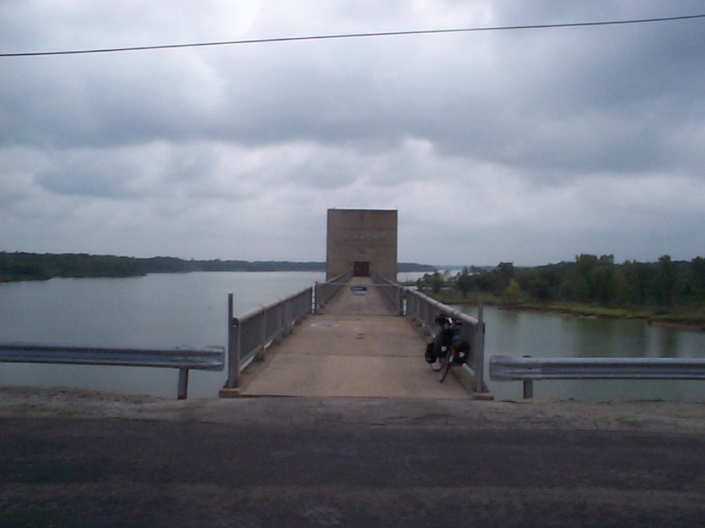
Now to one of the benefits of following the Adventure Cycling maps – a neat up and down route with trees through the Salamonie River State Forest. I probably would not have found that on my own. The picnic tables under the pavilion near the dam visitor center made a great place to pull out my sandwich to stop for a lunch break.


The route goes around Huntington and then stays south of the city of Fort Wayne. My destination was Monroeville, near the Ohio border.
I was surprised to see that Monroeville (population 1500) had its own library with net access – I updated the map dots on the website, but I couldn’t access the text above the map.
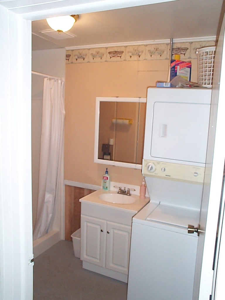
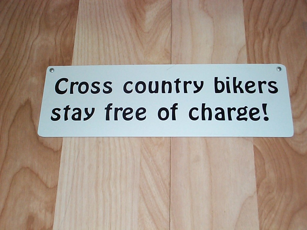
The Adventure Cycling map said that there was camping in the city park. I was expecting a patch of grass to pitch my tent, with no showers. Instead, they allow cyclists to use the indoor facility in the park, which has a kitchen, showers, and washer/dryer. Great hospitality!